File:GeographicTownships.PNG: Difference between revisions
Jump to navigation
Jump to search
imported>Admin Source: http://www.mah.gov.on.ca/AssetFactory.aspx?did=6573 Gorham Township on a map in Ontario, with Lappe drawn on |
Maintenance script uploaded File:GeographicTownships.PNG Tag: Server-side upload |
| (One intermediate revision by the same user not shown) | |
(No difference)
| |
Latest revision as of 11:42, 27 February 2026
Source: http://www.mah.gov.on.ca/AssetFactory.aspx?did=6573
Gorham Township on a map in Ontario, with Lappe drawn on
File history
Click on a date/time to view the file as it appeared at that time.
| Date/Time | Thumbnail | Dimensions | User | Comment | |
|---|---|---|---|---|---|
| current | 11:42, 27 February 2026 | 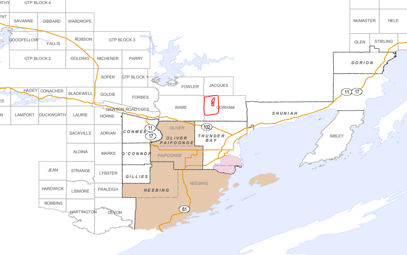 | 1,313 × 823 (282 KB) | Maintenance script (talk | contribs) | == Summary == Importing file |
You cannot overwrite this file.
File usage
The following page uses this file: