File:Parsons Harbour, Newfoundland.PNG: Difference between revisions
Jump to navigation
Jump to search
imported>Admin Source: Google Maps [https://www.google.com/maps/@47.580112,-56.6508106,909a,35y,353.99h,66.09t/data=!3m1!1e3] |
Maintenance script uploaded File:Parsons Harbour, Newfoundland.PNG Tag: Server-side upload |
| (One intermediate revision by the same user not shown) | |
(No difference)
| |
Latest revision as of 11:42, 27 February 2026
Source: Google Maps [1]
File history
Click on a date/time to view the file as it appeared at that time.
| Date/Time | Thumbnail | Dimensions | User | Comment | |
|---|---|---|---|---|---|
| current | 11:42, 27 February 2026 | 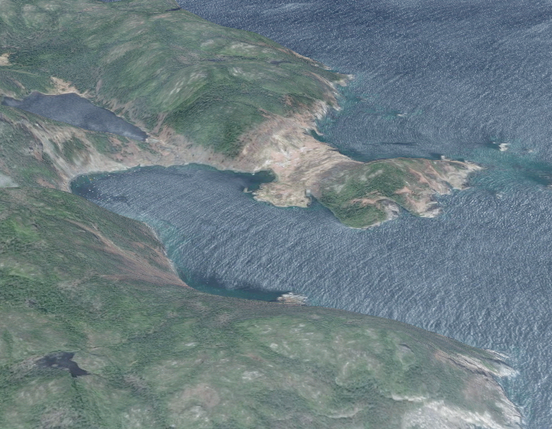 | 776 × 603 (1.13 MB) | Maintenance script (talk | contribs) | == Summary == Importing file |
You cannot overwrite this file.
File usage
The following page uses this file: