File:GeographicTownships.PNG

Size of this preview: 800 × 501 pixels. Other resolution: 1,313 × 823 pixels.
Original file (1,313 × 823 pixels, file size: 282 KB, MIME type: image/png)
Source: http://www.mah.gov.on.ca/AssetFactory.aspx?did=6573
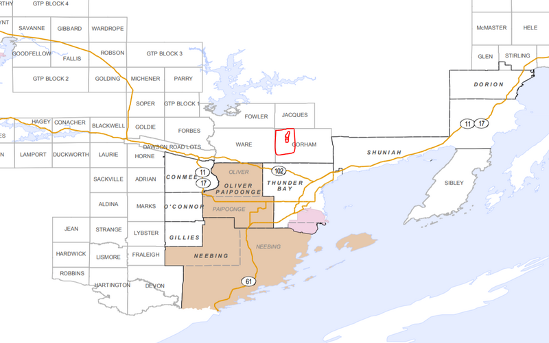
Gorham Township on a map in Ontario, with Lappe drawn on
File history
Click on a date/time to view the file as it appeared at that time.
| Date/Time | Thumbnail | Dimensions | User | Comment | |
|---|---|---|---|---|---|
| current | 11:42, 27 February 2026 | | 1,313 × 823 (282 KB) | Maintenance script (talk | contribs) | == Summary == Importing file |
You cannot overwrite this file.
File usage
The following page uses this file: