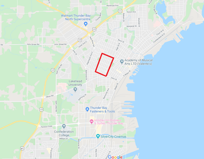
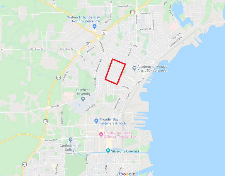
File:MaridayGrid.png
Size of this preview: 768 × 600 pixels. Other resolution: 863 × 674 pixels.
Original file (863 × 674 pixels, file size: 305 KB, MIME type: image/png)
Source: Google Maps Subject: Mariday Park, Thunder Bay, Canada
File history
Click on a date/time to view the file as it appeared at that time.
| Date/Time | Thumbnail | Dimensions | User | Comment | |
|---|---|---|---|---|---|
| current | 11:42, 27 February 2026 | | 863 × 674 (305 KB) | Maintenance script (talk | contribs) | == Summary == Importing file |
You cannot overwrite this file.
File usage
The following page uses this file: