File:PineStreetSchoolLot.PNG

Size of this preview: 800 × 483 pixels. Other resolution: 859 × 519 pixels.
Original file (859 × 519 pixels, file size: 1,021 KB, MIME type: image/png)
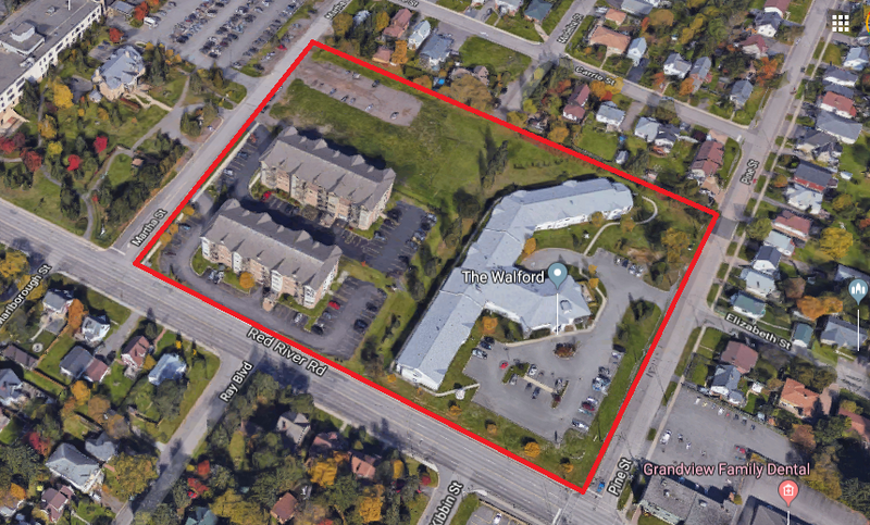
Pine Street School Lot, circa 2018
Source: Google Maps
File history
Click on a date/time to view the file as it appeared at that time.
| Date/Time | Thumbnail | Dimensions | User | Comment | |
|---|---|---|---|---|---|
| current | 11:42, 27 February 2026 | | 859 × 519 (1,021 KB) | Maintenance script (talk | contribs) | == Summary == Importing file |
You cannot overwrite this file.
File usage
The following page uses this file: