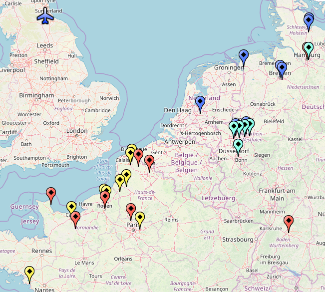
File:RCAFSqn434Crew103BombingLocations.png
No higher resolution available.
RCAFSqn434Crew103BombingLocations.png (651 × 585 pixels, file size: 413 KB, MIME type: image/png)
Source: Michael Currie plotted this data manually into Google Earth from the flight logs given below and then visualized with "GPS Visualizer" [1]
File history
Click on a date/time to view the file as it appeared at that time.
| Date/Time | Thumbnail | Dimensions | User | Comment | |
|---|---|---|---|---|---|
| current | 11:42, 27 February 2026 | | 651 × 585 (413 KB) | Maintenance script (talk | contribs) | == Summary == Importing file |
You cannot overwrite this file.
File usage
The following page uses this file: